Brazil Ranch (Big Sur)
I haven’t been on a hike from my hiking book in a long time. I really wanted to go to the Big Sur library book sale on Monday (Memorial Day) but in order to justify the 60 mile round-trip I decided I should do a hike.
This hike is 4.2 miles round trip, taking 2.5 hours, with an elevation of 1,100 feet.

To get to this hike, you park on the pullout area, ocean side of the road, about 0.5 mile south of Bixby Bridge. There are actually 2 gates, which confused me, but they both end up at the same place, so you can safely take either one.
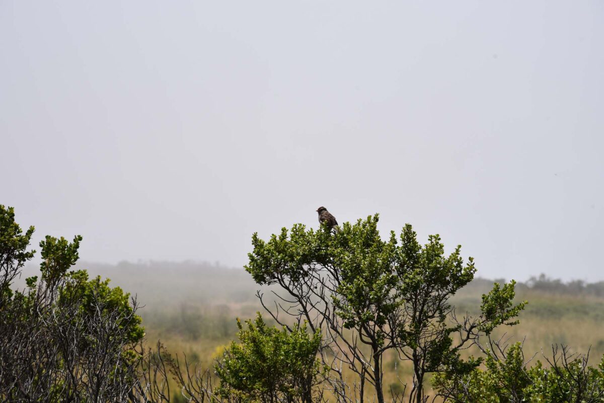
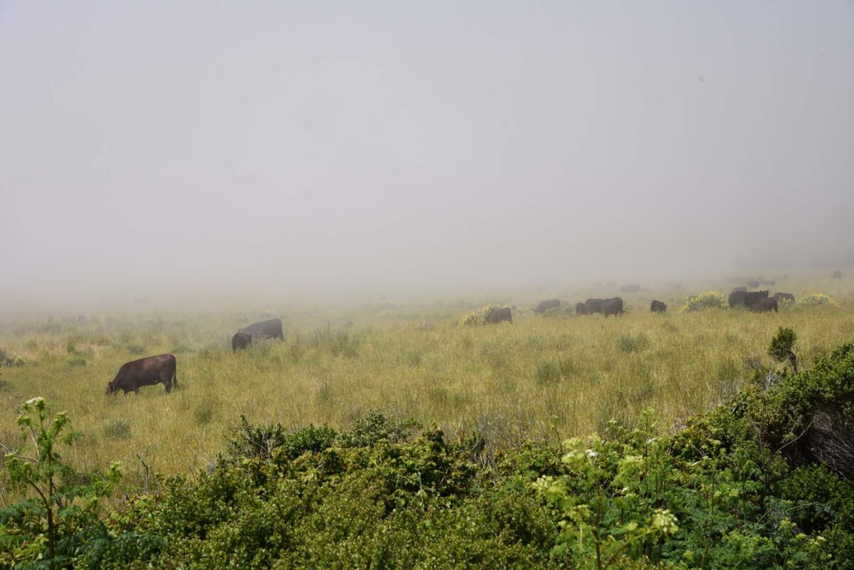
I took the above picture (bird) and below (cows) from where I parked. It was a very foggy early afternoon.
I’ve recently become interested in local natural history and have been slowly teaching myself about the local wildflowers and birds (although I can’t tell you what that bird is above). I’m including info about some of the flowers I saw on this hike. The info is above the flowers picture. I’m using the Monterey County Wildflowers field guide, published by the California Native Plant Society, Monterey Chapter. I highly recommend this book! Please keep in mind that I’m an amateur and bound to make some identification mistakes. Feel free to (nicely) let me know!


Sticky Monkeyflower (Diplacus aurantiacus)
Out of all the flowers I’m identifying here, I’m least sure of this flower below. I’m sure it’s some kind of Paintbrush, but there are several varieties. By the end of the hike, I started to notice that some were a bright red and seemed fuller and shorter, but I’m not sure if it’s the same flower or different subspecies. I think these are Coast Indian Paintbrush. There were some that were more red than pink, but I didn’t get any pictures of those. The thing that also confused me, which you can see in these pictures, is that some of them had green leaves and some were purplish. But maybe that could be older flowers, because I think I see some seed pods.


Coast Indian Paintbrush (Castilleja affinis)

Crimson Columbine (Aquilegia formosa)
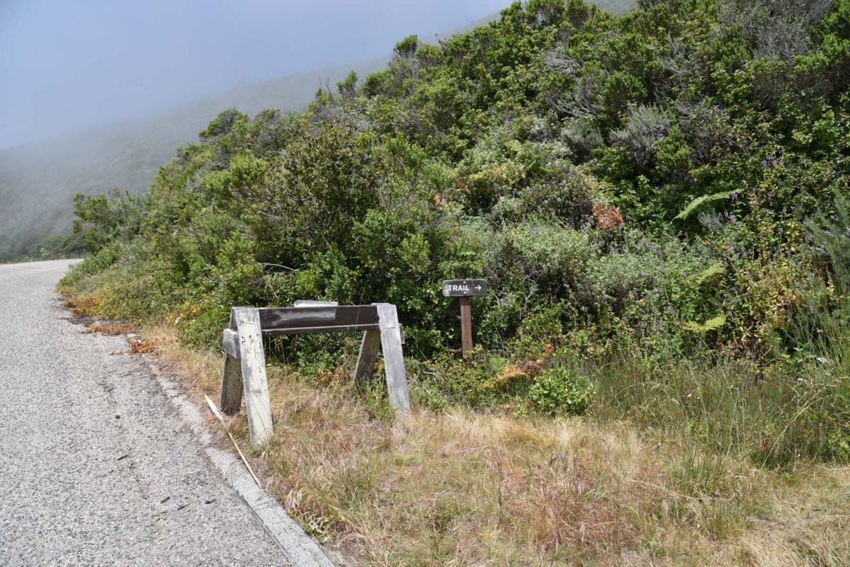
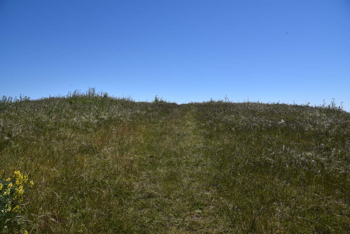
Very shortly after you start the hike, the trail tries to trick you into turning right. Ignore the sign and keep following the fire road.
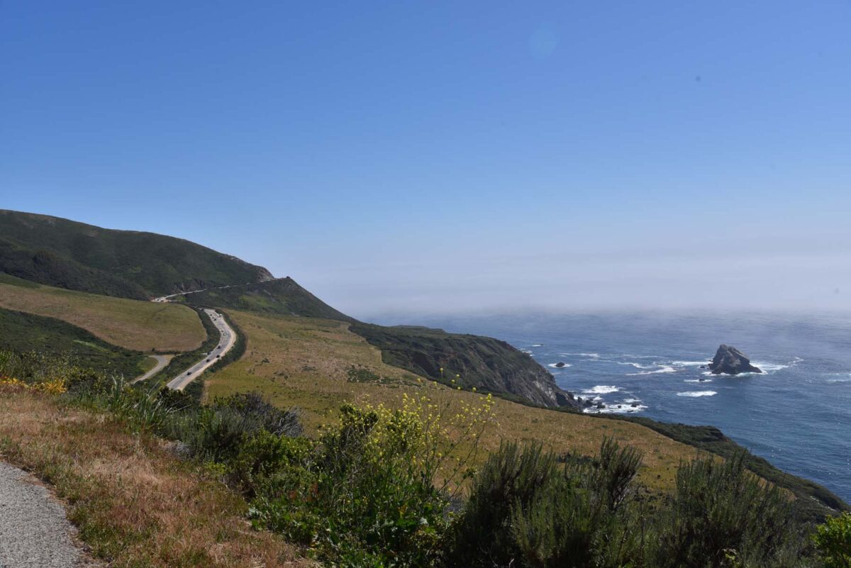
This is taken looking back toward Hwy 1.
A little farther up and the fog had really rolled in.
The below photo is roughly the same spot as the one above, which I took on my way back down after the fog had cleared.


Wood Mint, California Hedge Nettle (Stachys bullata)
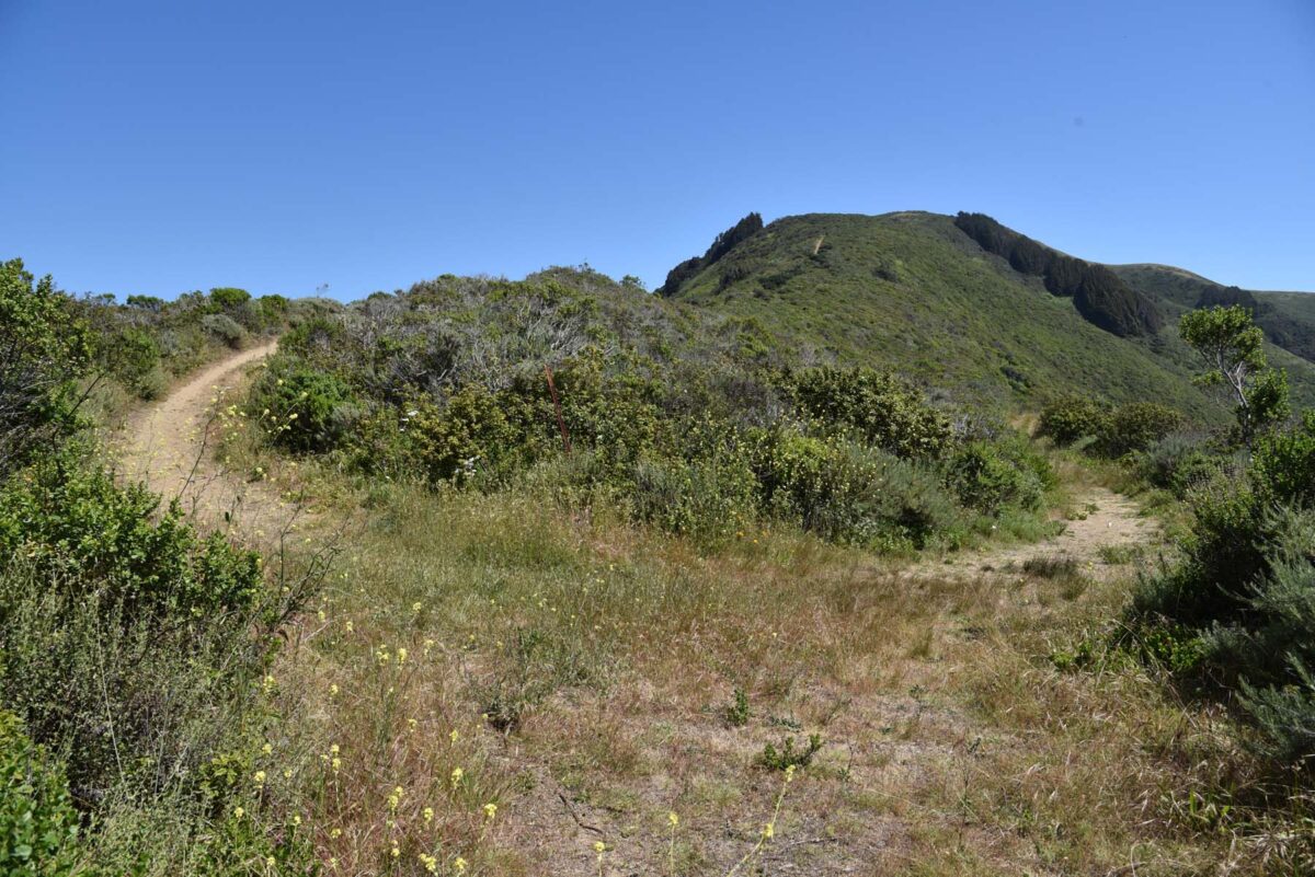
After 0.45 mile, the road bends to the right.
As the road starts to straighten out again, you’ll notice another trail sign. Here, you’ll take the trail to the right. Some of the trail is a little overgrown but nothing compared to some other trails I’ve seen. I would recommend long pants, especially if you know you’re allergic to poison oak.

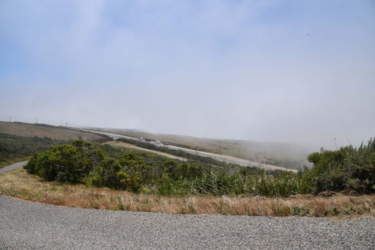
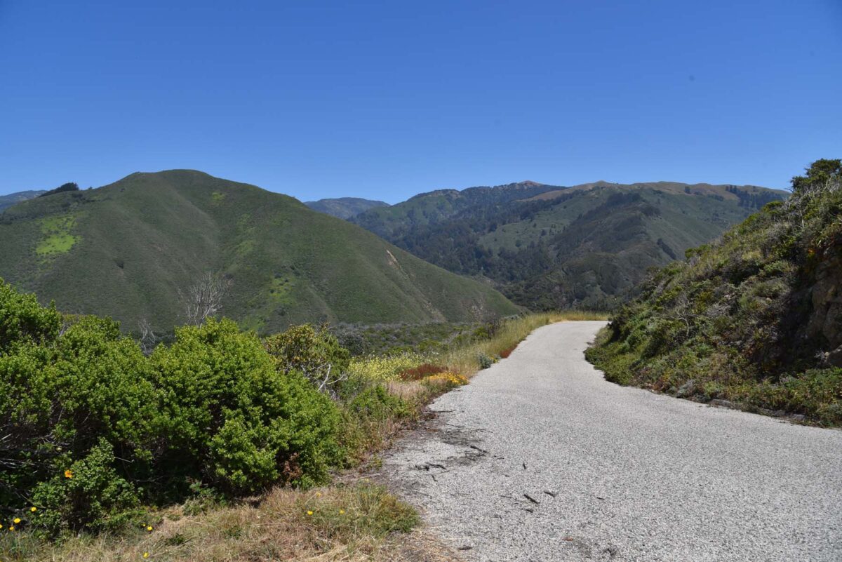
Don’t keep following the paved road, it leads to Brazil Ranch. Well, maybe you should follow it a little, you might like the view.

Common Yarrow (Achillea millefolium)

Coast Morning Glory (Calystegia macrostegia)
Here’s where things get a little sketchy. I’m pretty out of shape right now and can’t remember if I came upon this fork before or after passing through a closed, but unlocked gate. You’ll want to take the left trail here. The right actually connects to the trail I pointed out earlier that you should ignore. I didn’t realize that at the time, otherwise I would have taken it on my way down to see what it is like.
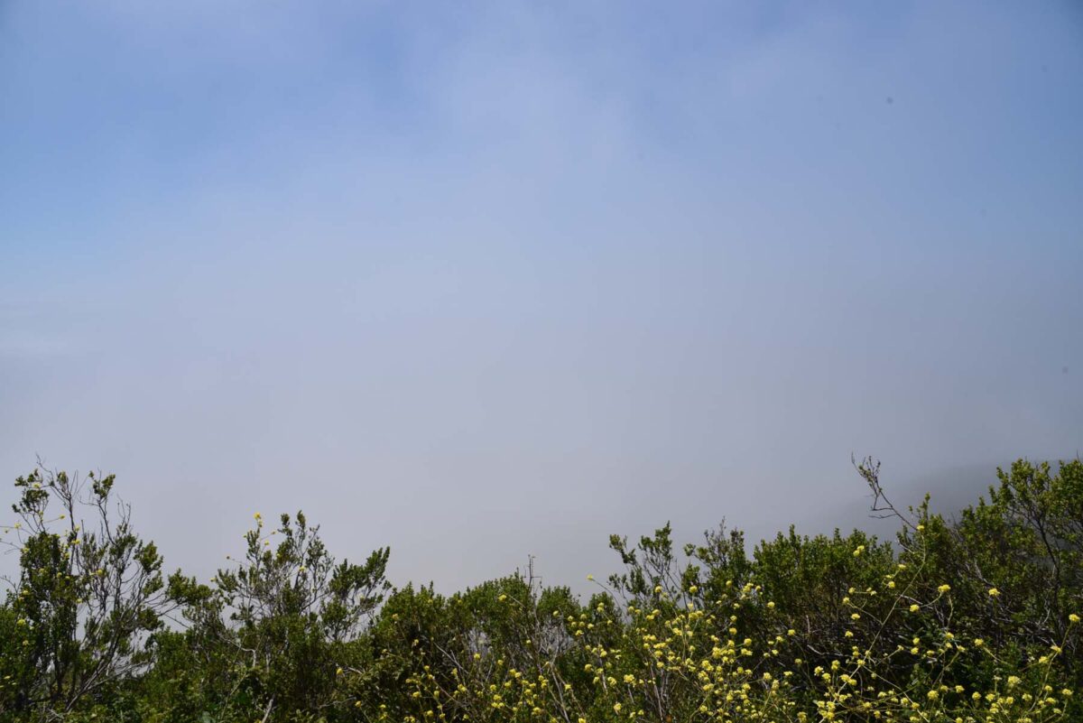
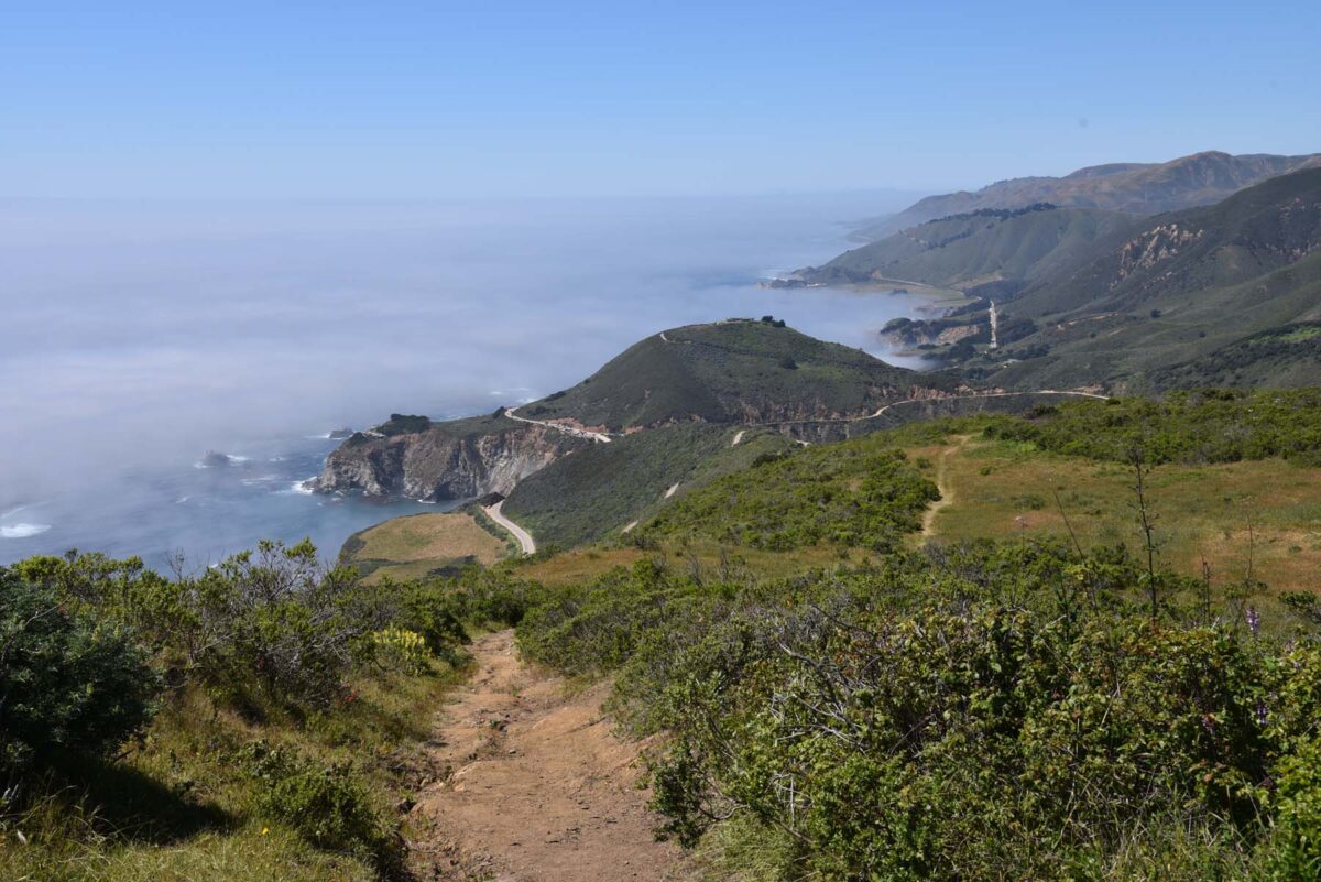
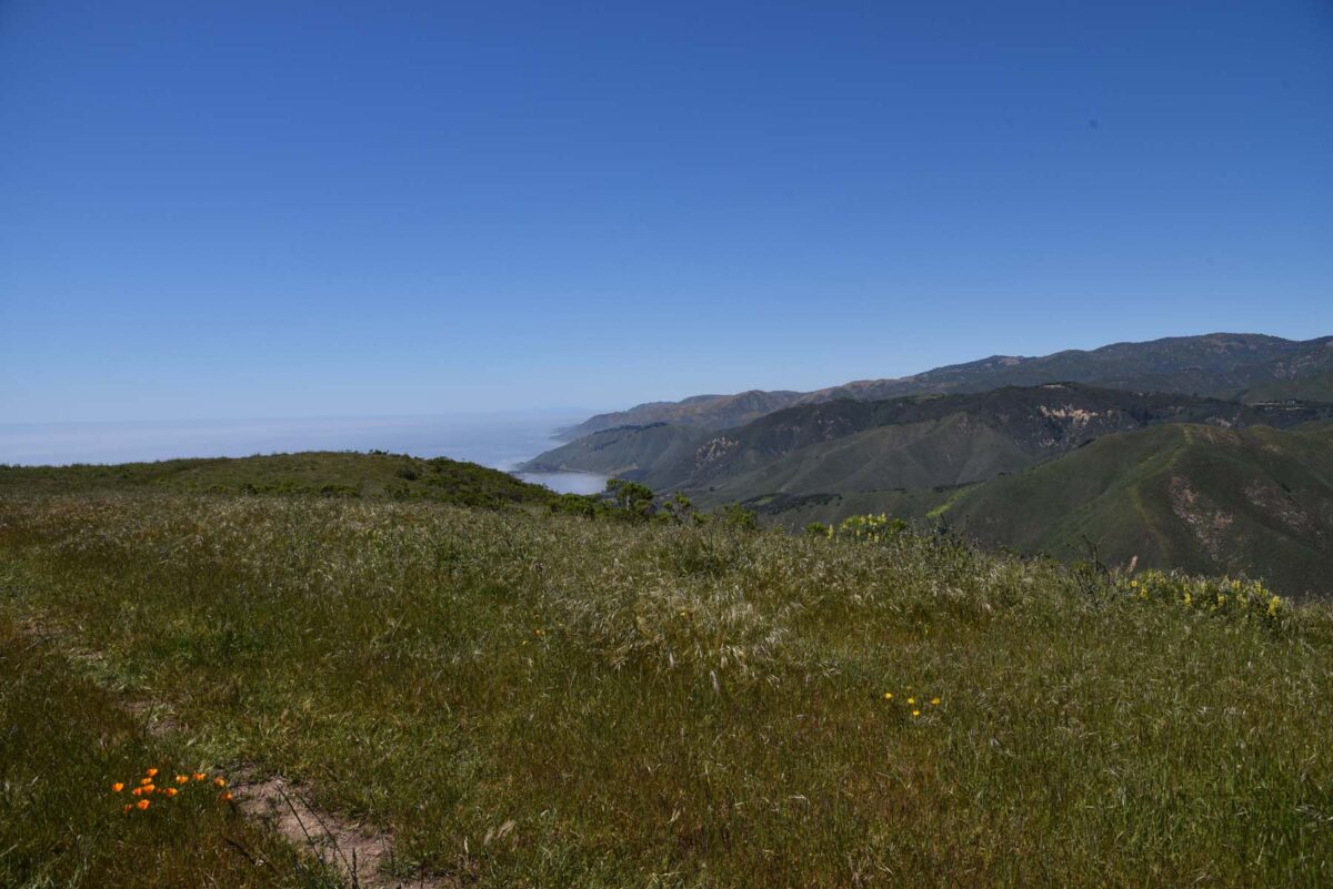
There’s nothing like being above the clouds! Or fog, but I’m going with clouds.
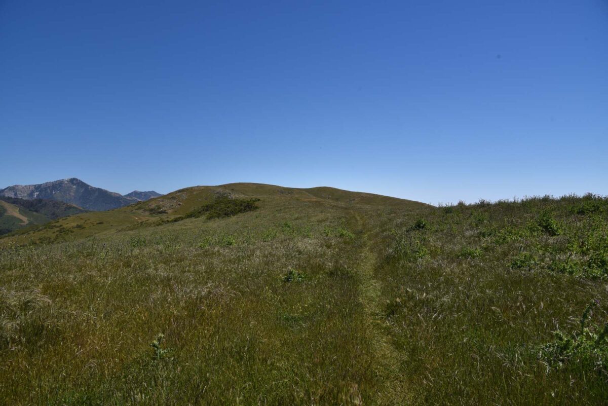
Did I mention that I’m out of shape? I had to stop several times and even sat down to let my heart get control of itself. It also didn’t help that this trail was playing with my mind. I would look up and think, “I’m almost there!” and then I’d get up to the “top” and…
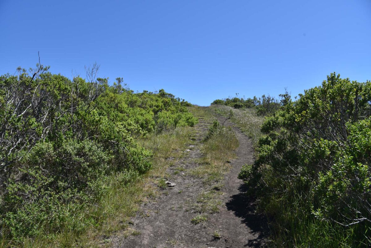
Oh. I’m still almost there…
And still yet, almost there.
There was lots of Milk Thistle at the grassy flat, but not along the trail amongst the other flowers. I thought that was interesting because I know they grow along with other plants at Elkhorn Slough.

Milk Thistle (Silybum marianum)
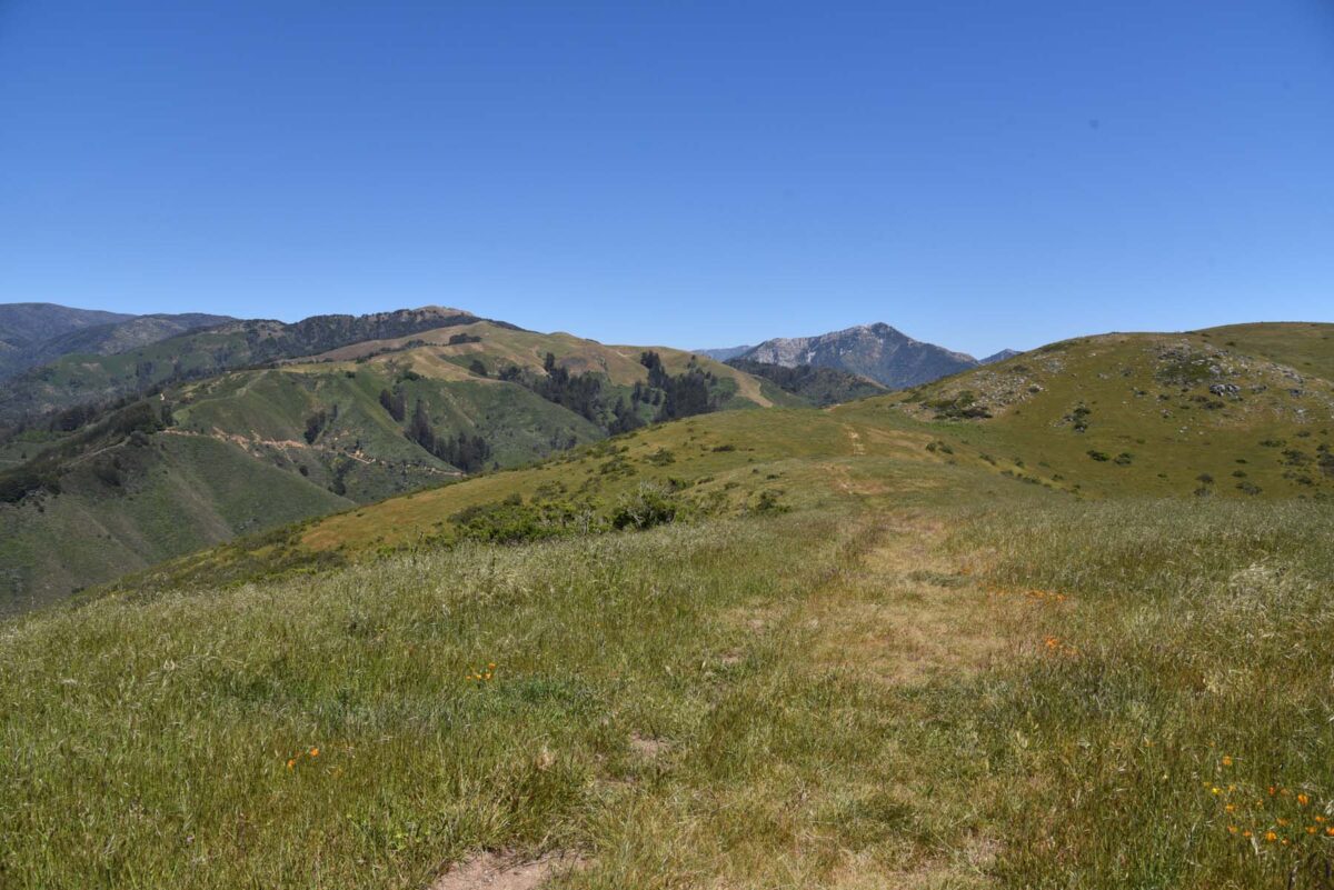
I ended my hike at the grassy flat even though it continues for another 0.5 mile.
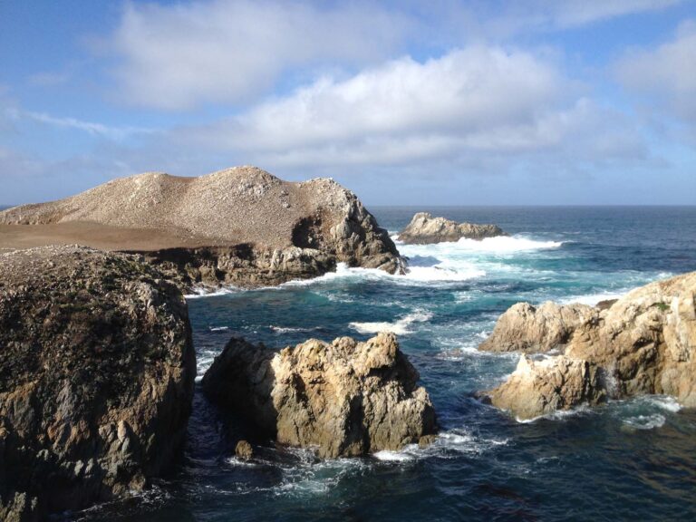
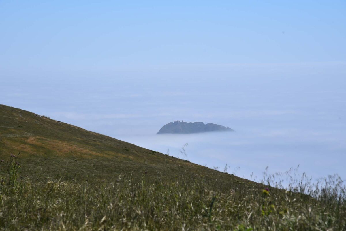
Point Sur peeking out from the fog.
Looking north toward Bixby Bridge.

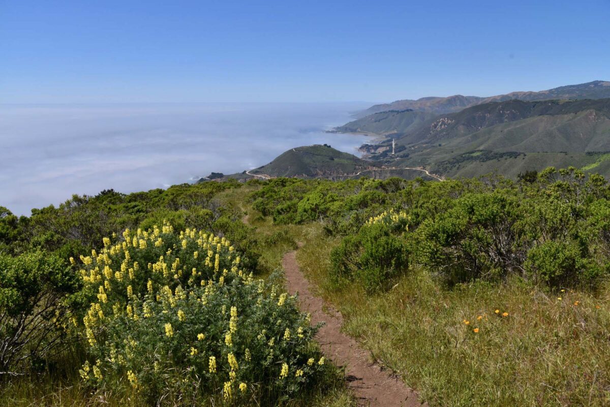
Yellow Bush Lupine (Lupinus arboreus)
On the way down. You can see the Tree (Yellow Bush) Lupines here. These were all over, at the bottom and top of the trail, but not in the grassy flat. They smell so good!

Blue-eyed Grass (Sistinchium bellum)
On the way down. Maybe you can get an idea from here how rocky and steep the trail is in some parts. I wore my Merrell Vapor Glove 2, which is my everyday shoe. I think it’s technically a trail running shoe, but it’s very minimalist and I slipped many times on the way down. I’d recommend a shoe with some good tread on it.

Lizard Tail, Seaside Wooly Sunflower (Eriophyllum staechadadifolium)
I almost didn’t take a picture of these below and I’m sure there are many other flowers I didn’t get. I actually saw a small patch of Douglas’ Iris, but was huffing up the hill at the time and didn’t care and missed them on the way down. Anyway, these English Plantains were growing right in the middle of the trail.

English Plantain, Plantago lanceolata (non-native)
Back on the paved road and almost done.
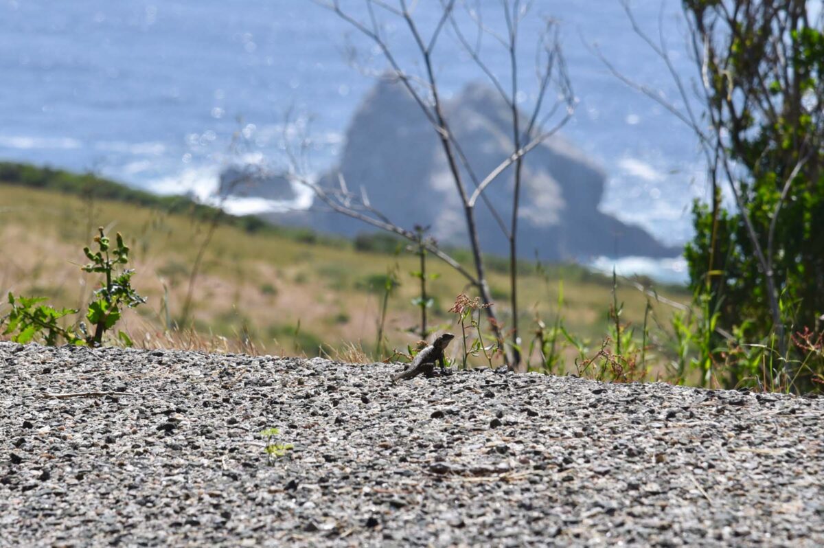
I saw a few lizards at the lower elevation. I also saw some butterflies up at the grassy flat and some hawks.
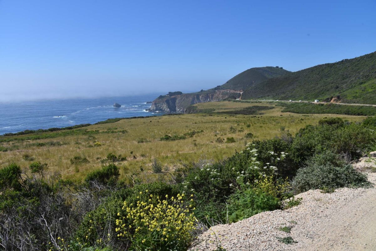
This is taken by my car, the cows in the distance. The thing I love about hiking at Big Sur is that the landscape is always changing. Not only from year to year (drought or rain) and season to season (wildflowers!), but even hour to hour.