Tan Bark to Tin House Road (Big Sur)

An magical hike for active adults. Very strenuous.
Ecosystems: riparian zone and mixed conifer forest. Lots of Coast Redwoods.
Below is the Google Map location where we parked. If you’re using Apple Maps, use the following coordinates: 36.177104, -121.694132
I’ve done this hike several times and it’s always fun in a different way. When I went in 2018, the trail was not being maintained well and there were so many trees to climb over. Fun! This time the trail was clear, except for some branches from last week’s storm. This was a good thing though since I’m out of shape and I appreciated not having to climb over things. Instead we enjoyed seeing TWO banana slugs and lots of interesting fungi.
We started at the Tanbark trail, rather than the Fire Road trail. I explain why at the end of this article. From Carmel (intersection at Hwy 1 and Rio Rd), you drive 35 miles south on Hwy 1. We stopped a few times along the way. To take photos at Bixby Bridge…

And see the views at Nepenthe. We also did some quick shopping at The Phoenix and used their restroom.


There’s lots of space to pull over and park at the trail head.

The first section of the hike is relatively flat along Partington Creek in a Redwood grove.

The creek was full and raging in the most dreamy and majestic way.

This Redwood Sorel had huge leaves. You can see two of its white buds just to the left of my hand.

Many of the Redwoods have burn scars from previous fires. Their thick bark (at least a foot for mature trees) has a tannin that protects them from fires. Sometimes the bottom centers burn out, but they still remain alive and standing. It’s truly remarkable seeing how these huge trees seem to be balancing on stilts.

This is where you’ll turn right on the trail. This is where the climb begins!

A Redwood seedling emerging from a scrap of a stump…

I was happy to have so many interesting fungi to stop and admire. It gave me a chance to catch my breath. I used the iNaturalist app to identify most of these. Golden Ear, Witch’s Butter, and Orange Jelly Spot are tricky to differentiate, so that took some research. But it did help me to realize that when I take photos of fungi, I need to make note of what they’re growing on. Some only grow on conifers, others only grow on deciduous trees.

Witches Butter (Tremella mesenterica) 
Hairy Curtain Crust (Stereum hirsutum) 
Hairy Curtain Crust (Stereum hirsutum) 
Coral Tooth Fungus (Hericium coralloides) 
Crystal Brain Fungus (Myxarium nucleatum) 
Common Milkcaps (Lactarius) 
Saddle-shaped False Morel (Gyromitra infula)
We saw TWO banana slugs! And they were the most big and beautiful specimens any hiker could hope to run across.


I’m really not a huge fan of slugs but these guys make my heart swoon. The yellow! And that lovely grey striped skirt!

Isn’t it glorious?! (Sorry for my shaky hand!)
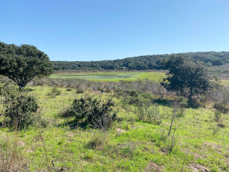
On the way up, there are plenty of peeks of the distance. (And more welcomed excuses to stop to catch a breath.)


This fallen tree has been here since at least my last time here in June 2018. It’s a nice place for a little rest.

Lots of glowing moss-covered rocks. This particular moss is called Bird’s-foot Wing Moss.


You’ll notice on the map that you’ll cross over the Partington Creek twice. Here are the two crossings…


This is a good example of how well this trail is being maintained…

At the end of the Tanbark Trail you’ll see this sign. This vantage is coming off the trail and turning back looking at where I’d just come from.

You’ll continue to the left towards the Tin House. The trail to the Tin House is to the right, but there is no sign. If you continue to the left…

…you’ll get a peek at these views.


You get an amazing view of the wide, wide ocean. You can see the curve of the earth!
Heading down the trail to the Tin House…

The Tin House…


Perfect place for a lunch.

Back on the trail…


First glimpse of Hwy 1. Almost done!

Gorgeous views on the way down…


Once you get to the (almost) bottom, there is another creek with redwoods. The trail is very steep and would not be enjoyable as a climb.


I do not recommend starting this trail loop from here. If you did decide to start here, this video shows where you start and the hill you continue up.
The end of the trail!

Now for the 0.9 mile walk along Hwy 1. Some parts felt a little unsafe and we speed-walked a bit through those parts. But for the most part, it went pretty quickly and uneventfully.


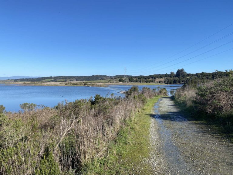
Once you see this point and bend in the road, you’re almost there. From here you can see the Partington Cove trail (#117 on this list).

Back to the parking area. Also, the entrance to the Partington Cove trail, which we’ll save for another day.


Total time of this hike was about 4.5 hours:
- Tanbark Trail to Tin House = 2.5 hrs
- Lunch at the Tin House = 30 mins
- Tin House to Hwy 1 = 1 hr
- Hwy 1 back to car = 20 mins